Grendon, Easton Maudit and Bozeat
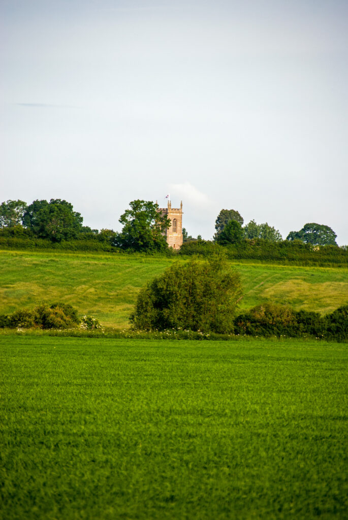
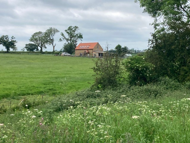
The historic village of Grendon – meaning Green Hill – is also the location of the Grendon substation, recently upgraded to provide additional capacity for electrical storage and supply. Island Green Power intends to route cable connections from its solar sites into the substation through the parish. The disruption to Grendon, Easton Maudit and surrounding areas will be momentous. Compulsory land purchase is possible.
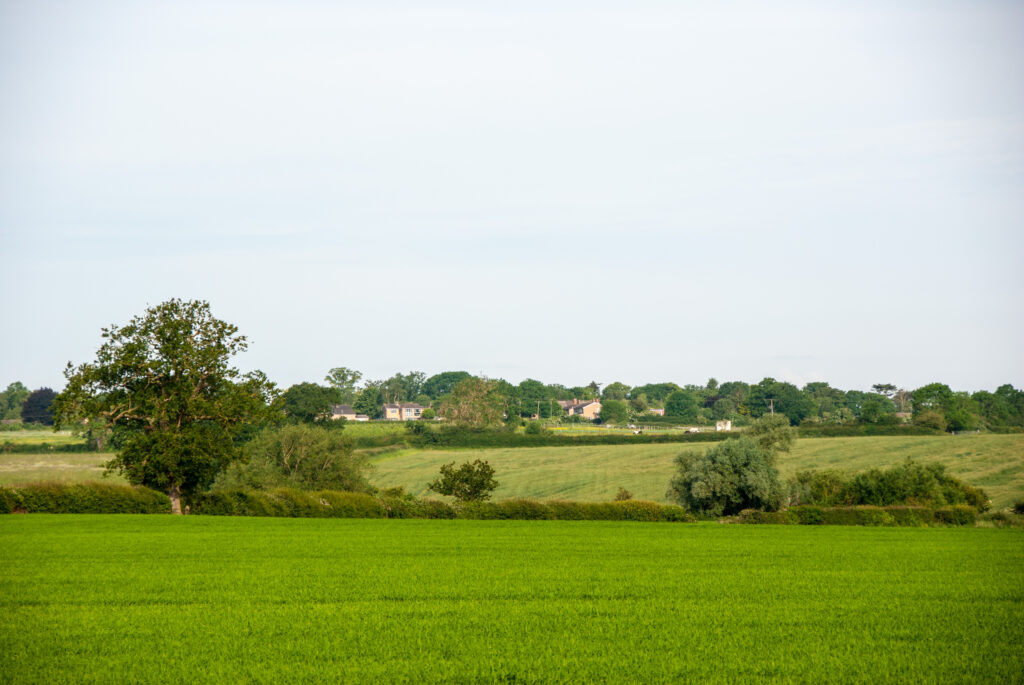
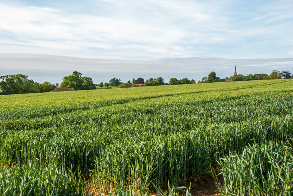
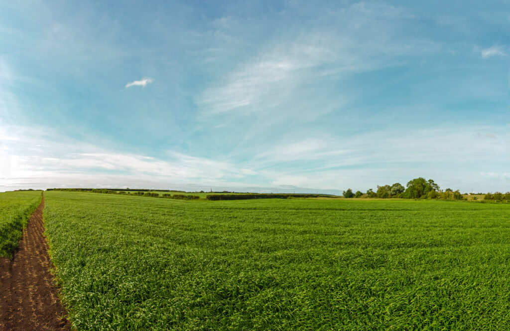
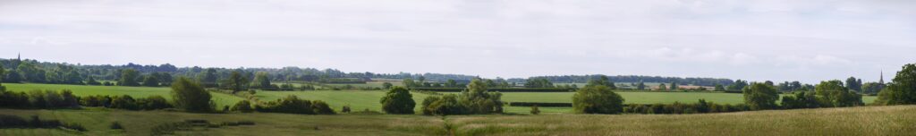
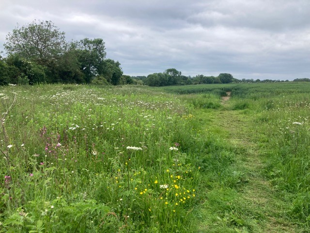
Solar panels will be positioned on land in view from the villages. Travelling out of Grendon towards Easton Maudit by car, on foot, bicycle or horseback will take you past huge arrays of panels. The beautiful village of Easton Maudit will be surrounded on three sides, up to Bozeat and nearby Strixton. Farming, walking, natural wildlife and beautiful open-sky vistas will all be severely impacted for at least a planned 60 years.
Our villages have rich histories stretching back to Roman and Iron Age times, with strong community spirits embedded in rural village history. The overwhelming despoiling of our surroundings will distress everyone who cares for our heritage and environment.
Surrounding villages with solar industry devastates the countryside for everyone, wherever they live: scroll down to see how each village and community will be affected
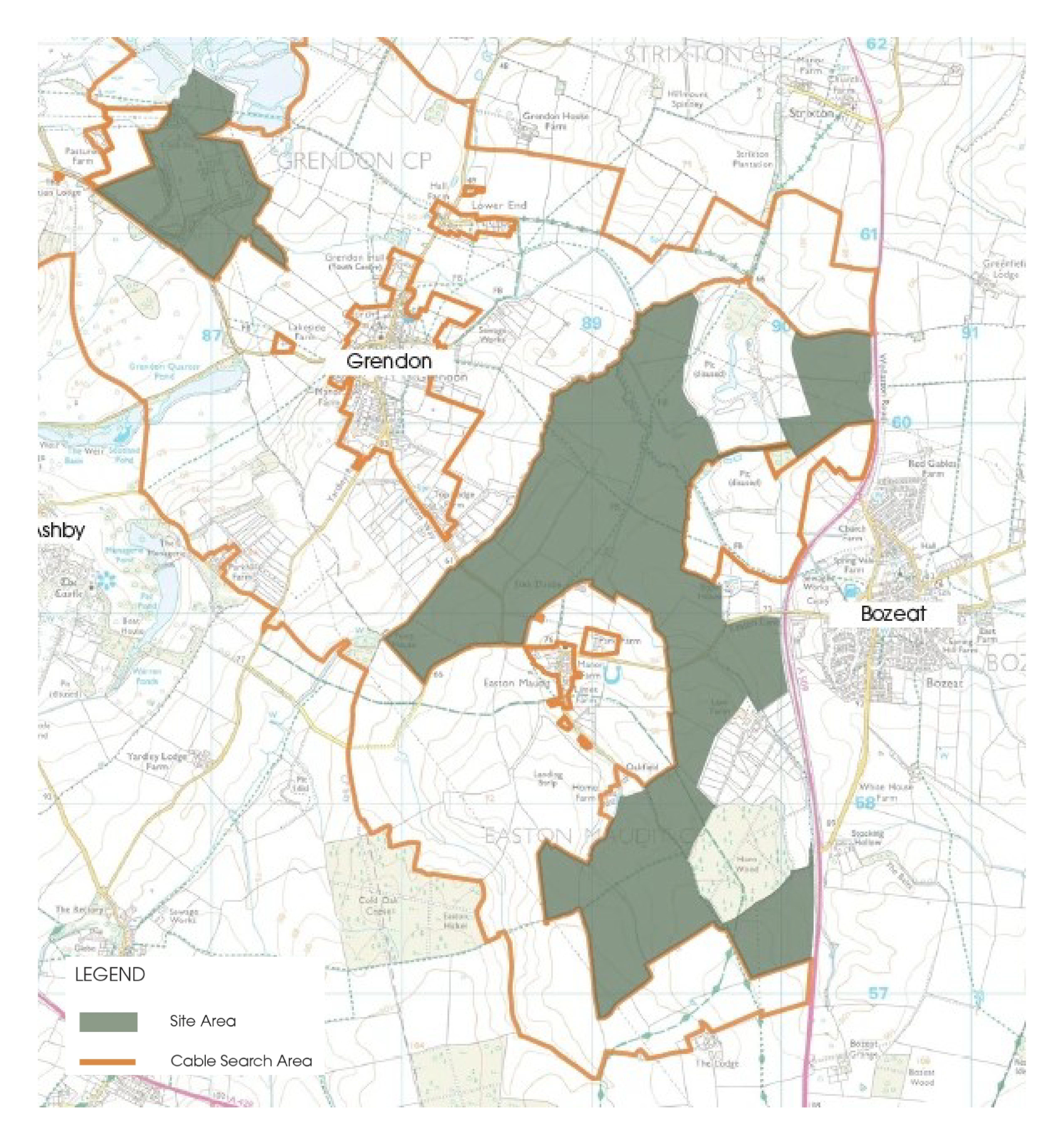
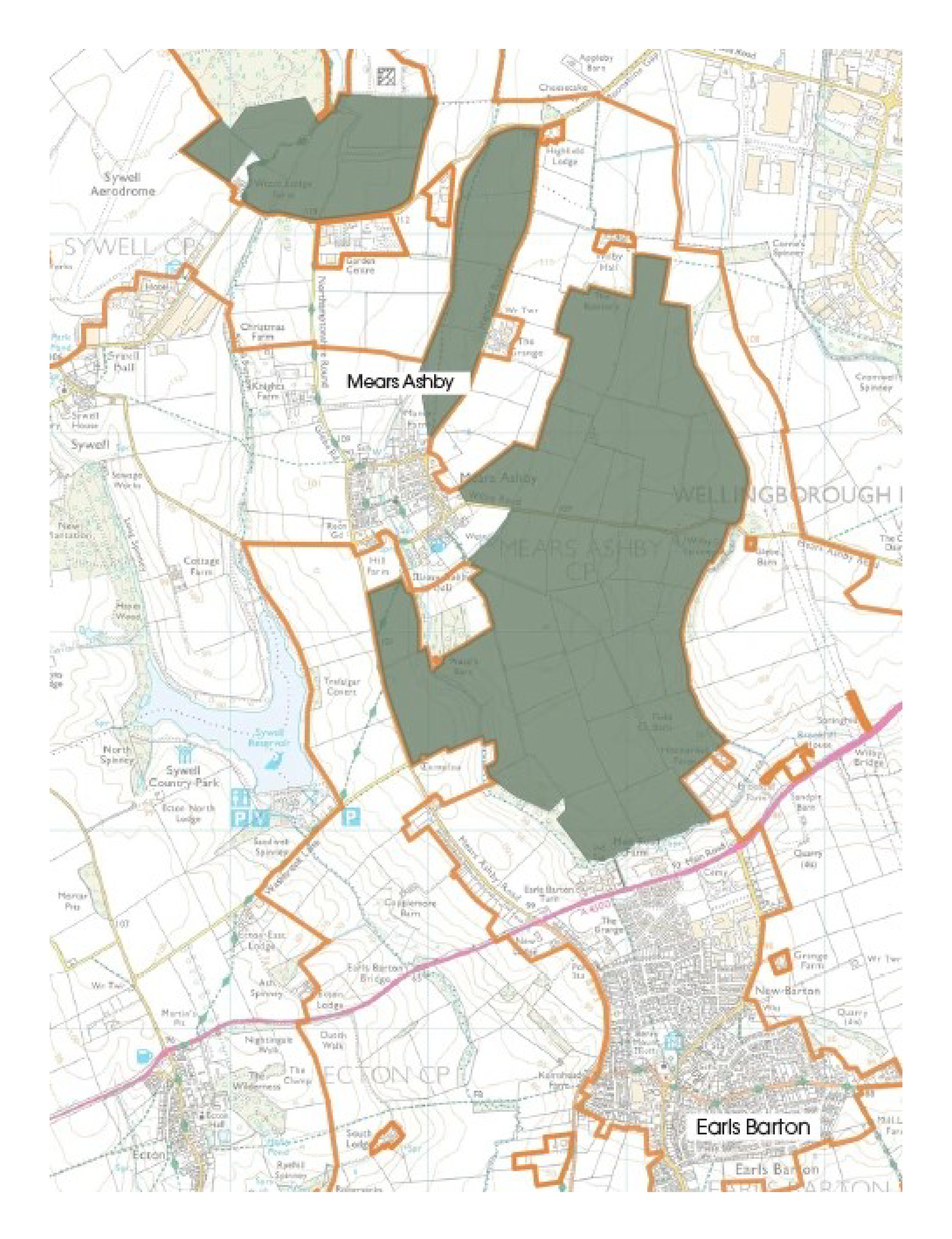
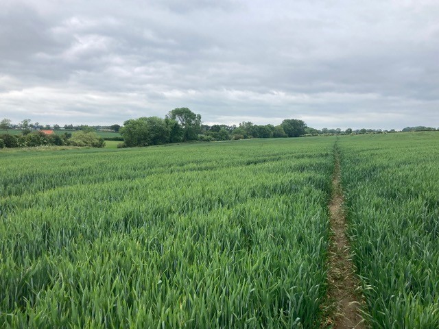
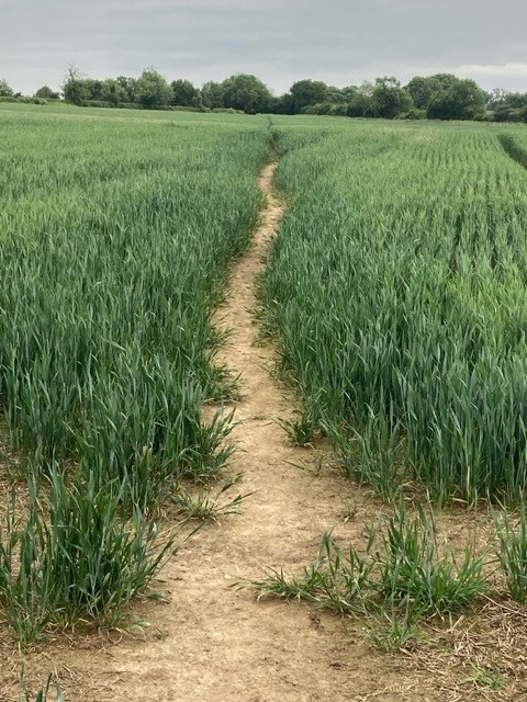
Around 618 acres of farmland around Easton Maudit will be industrialised, plus a 58-acre solar and battery storage (BESS) site around Grendon substation. The fields to be covered in solar panels or BESS are outlined in red below, showing the impact on Easton Maudit, Grendon and Bozeat.
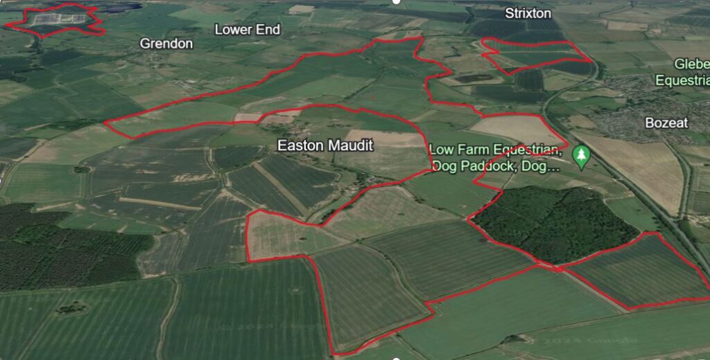
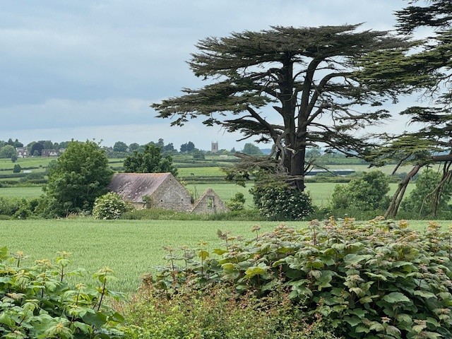
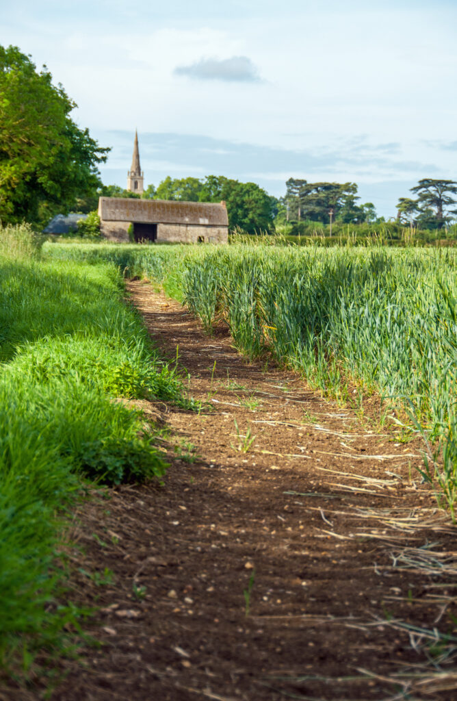
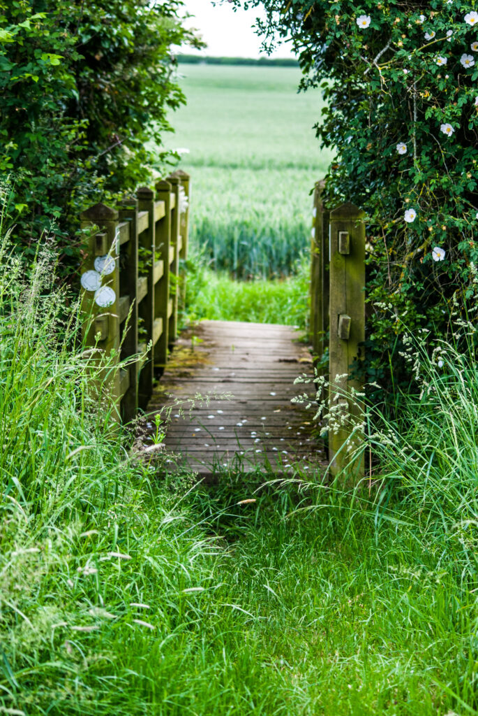
The conservation village of Easton Maudit faces enclosure by the steel and glass of Green Hill Solar industry in a continuous arc of 290 degrees. Many houses are Grade II listed and built from local stone, with the Grade 1 listed Church of St Peter and St Paul dating back to 1320: an inspirational landmark to surrounding villages. Neighbouring the church is the former parkland of Easton Maudit Hall surrounded by four mature Cedar of Lebanon trees, gracing the local landscape. From the churchyard, the uninterrupted views across agricultural land, permanent pasture and woodland across stone walls, hedgerows and brooks to church spires of neighbouring villages, will be lost to solar arrays and security fencing. Beautiful and ancient footpaths and bridleways that lift the soul, offer year-round changing views dependent on the seasons and the farming calendar, including towards the castellated roofline of Castle Ashby. These will be severely impacted by Green Hill Solar, including the route to Horn Wood – mentioned in 14th century documents – flanked by mature oaks and stone walls. The natural habitats of deer, hares, badgers, birds and countless other wildlife will be invaded by the glare of tilted panels, ‘danger of death’ signs, security fencing and new buildings. The essential character and amenity of historic Easton Maudit will be destroyed, permanently lost to today’s inhabitants and future generations.

Mears Ashby and Earls Barton
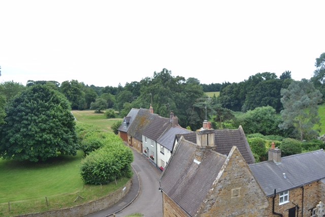
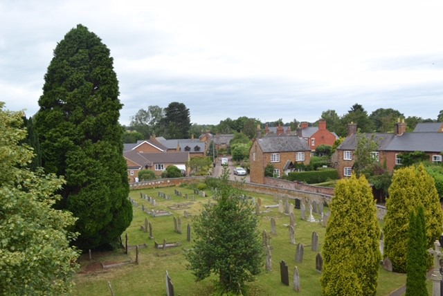
Above views: some of the oldest cottages in Lady’s Lane, and view from the top of Grade 2 listed Church of All Saints with its listed walls, Mears Ashby.
Historic Mears Ashby, dating back to 1300s, will change forever
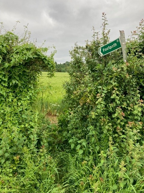
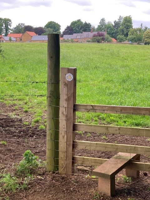
Views from footpath on left-hand side of Highfield Road will change from farmed crops and wildflower borders to rows of black solar panels and security fencing.

Holcot
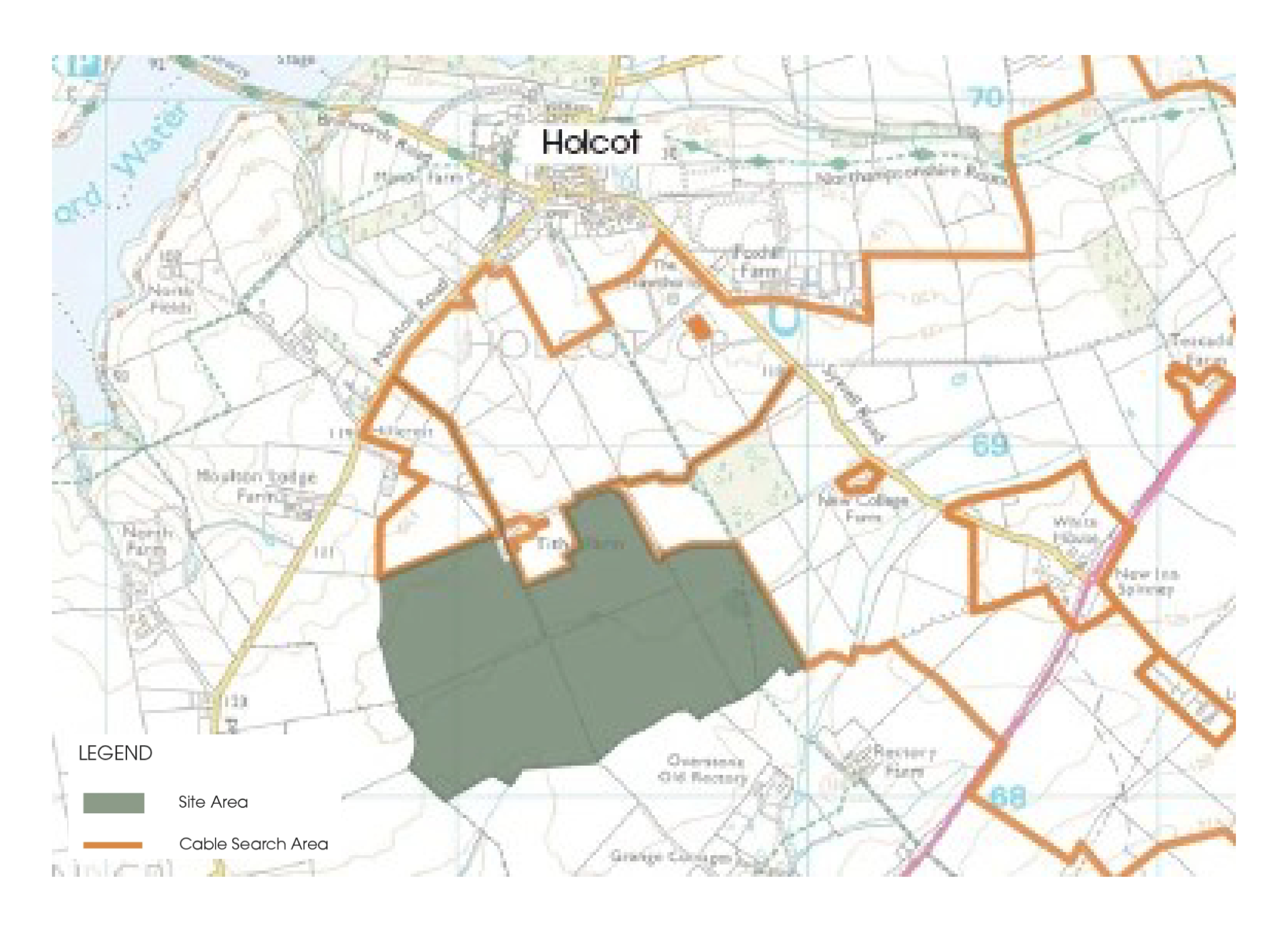
The solar site of around 150 acres with cable route ‘search’ areas in orange.
Old
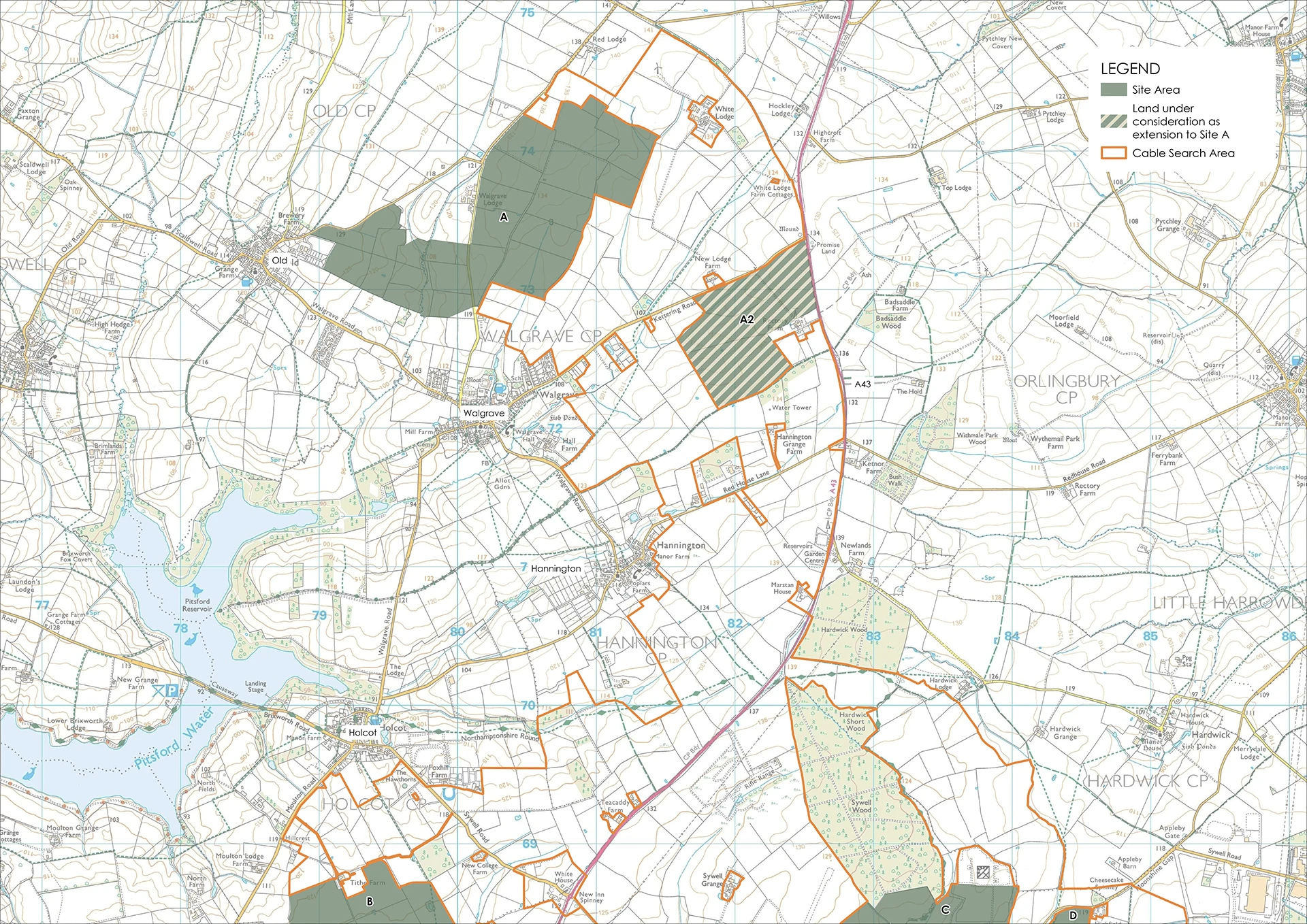
The Old and Walgrave solar utility of around 420 acres, equivalent to around 280 football pitches.
Walgrave
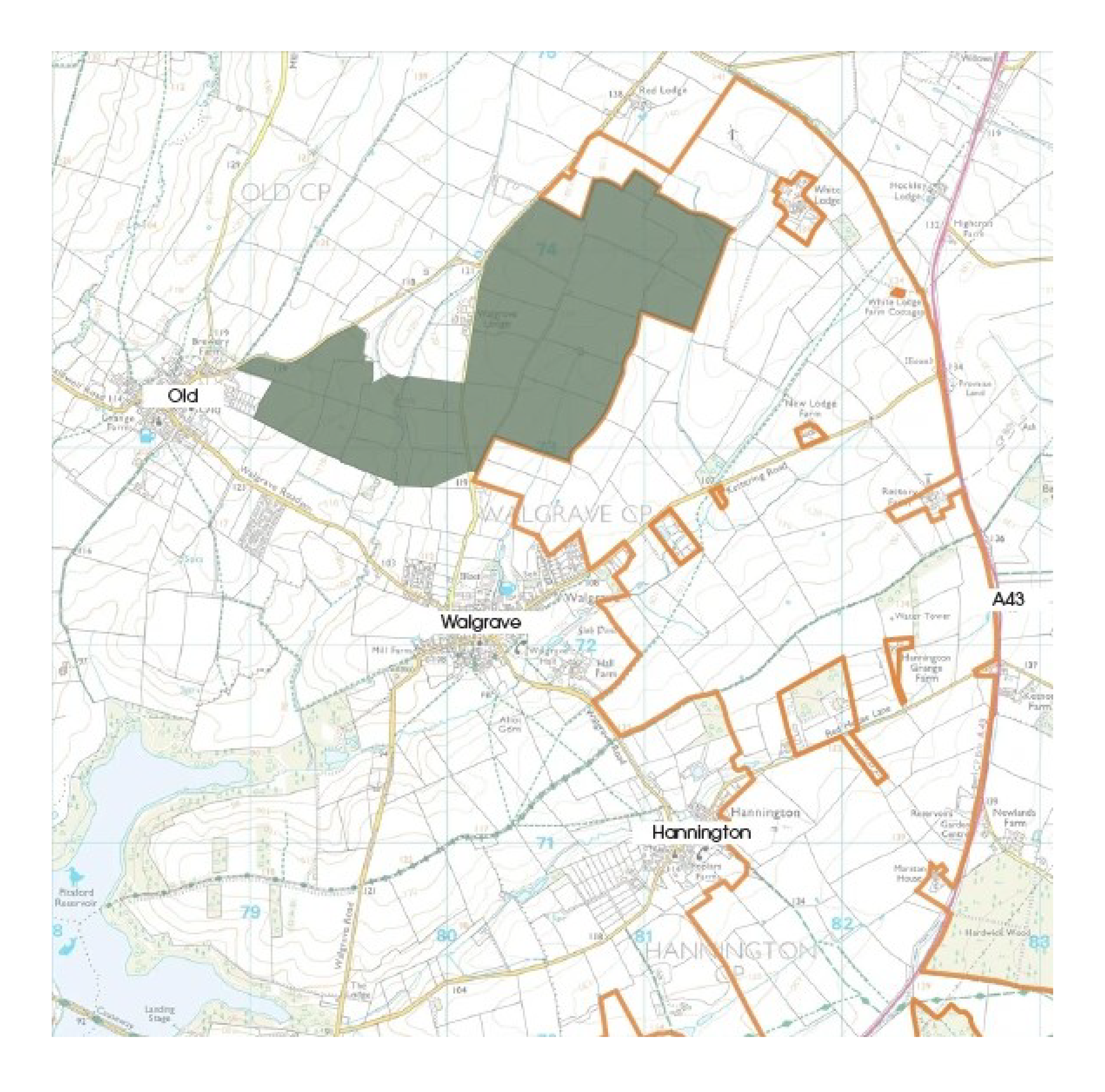
Orange outlines denote ‘cable search areas’, where cables routes will be dug to connect back the solar sites to Grendon substation.
Warrington/Lavendon
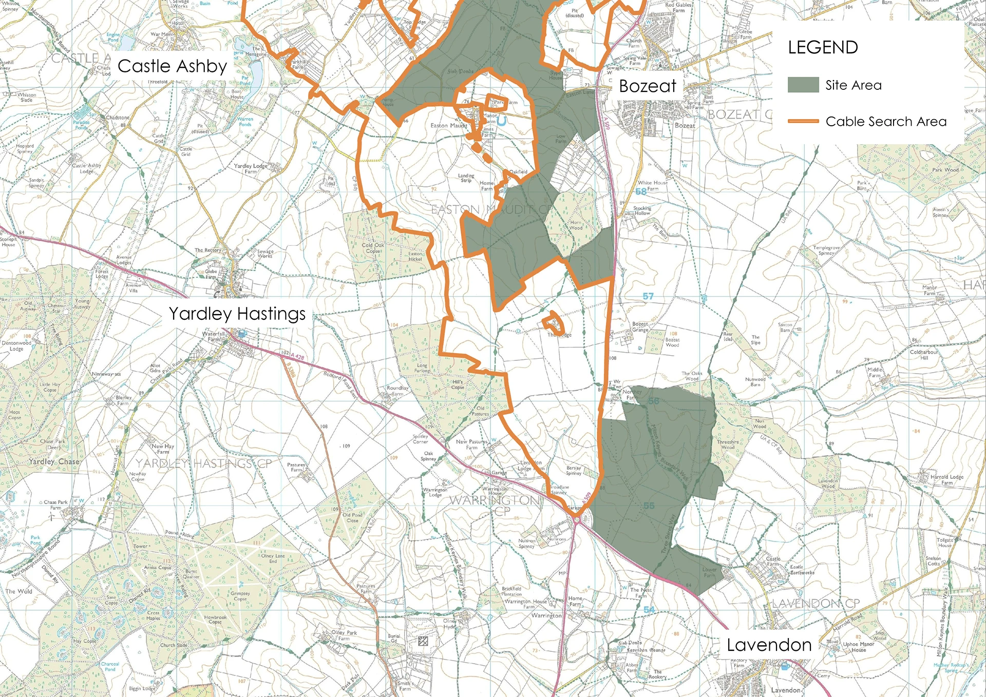
An additional site was added to the Green Hill Solar scheme in May 2024, comprised of around 600 acres of agricultural land stretching back towards Lavendon off the Warrington roundabout. Together with the additional Walgrave land, this brings the total proposed solar development to around 2,965 acres.
Maps Copyright © IGP.